ScanLAB Project’s first major show remains close to their heart, focusing on climate and the environment: it speculates a disappearing Polar landscape for which architects may only ever design for posthumously.
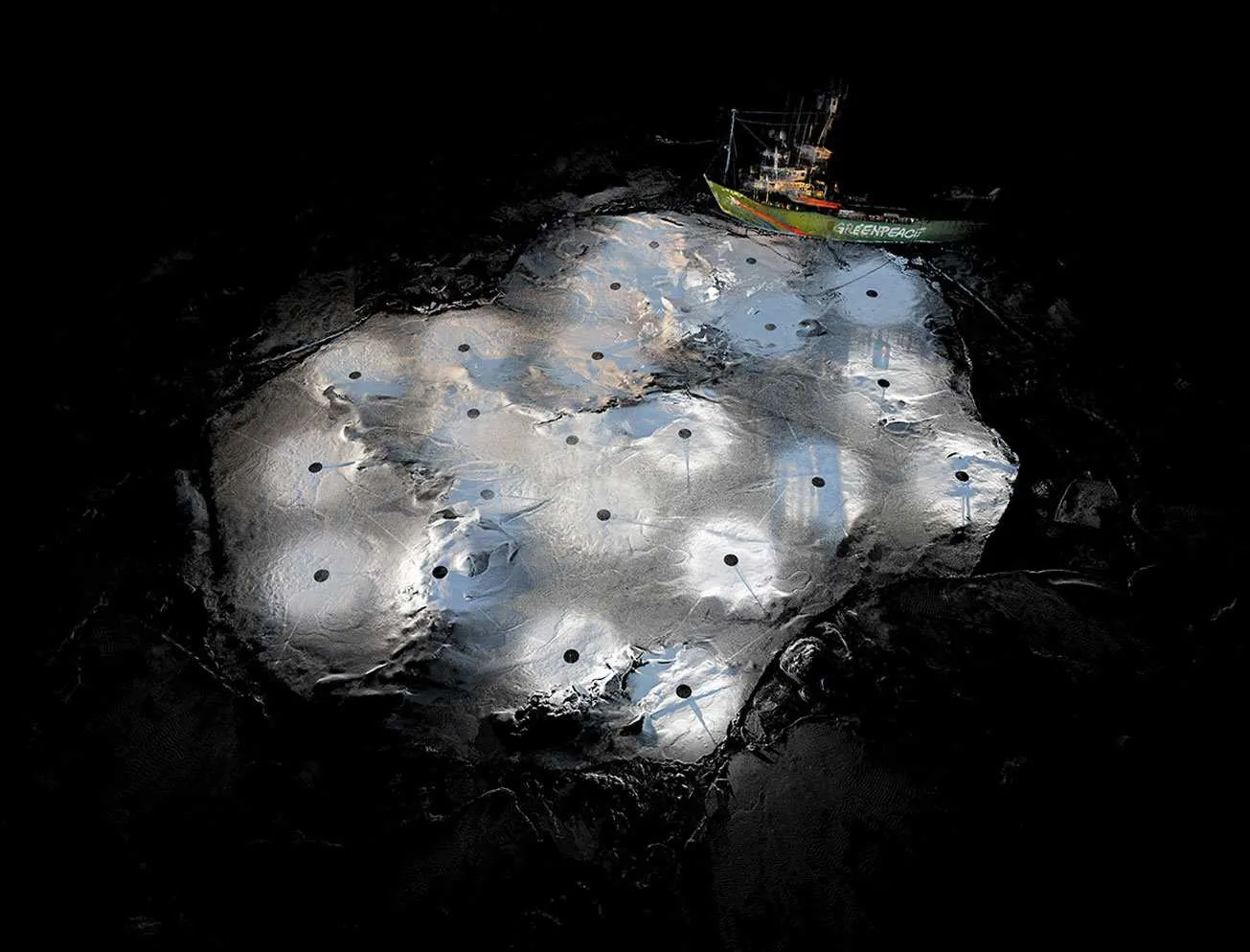
Frozen relics are conceived and crafted from 3D forensic data of 26 ice floes of Arctic Sea ice that Shaw and Trossell collected on expeditions to the Fram Strait, North West of Svalbard, Norway, alongside sea ice scientists from DAMTP at the University of Cambridge aboard the Greenpeace icebreaker ship the Arctic Sunrise.
Frozen Relic: Arctic Works recreates the sea ice landscape in its natural material - frozen saltwater. Each piece is a fabricated 1:100 scale replica of an original ice floe which was 3D scanned from above and documented using underwater sonar from below.
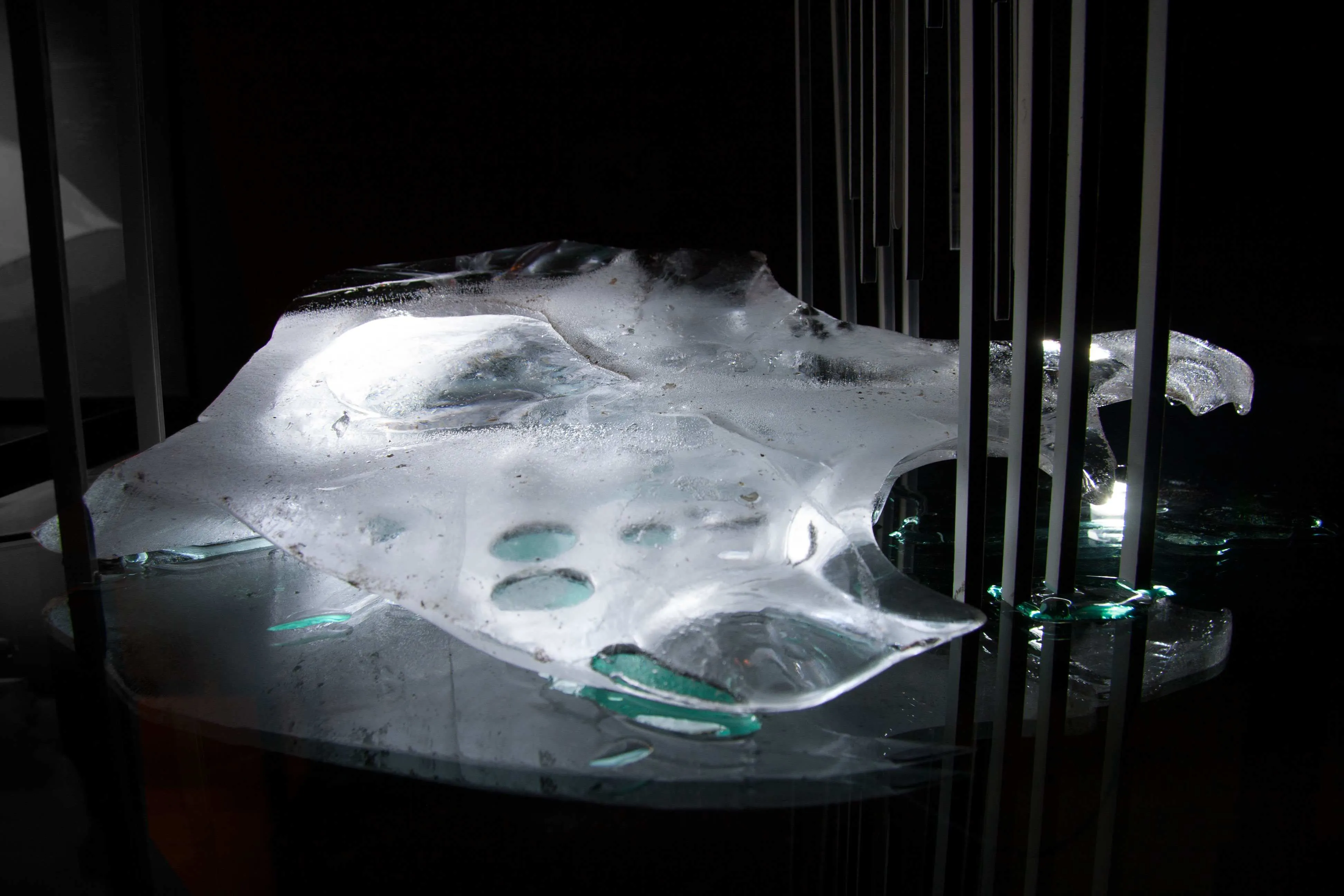
Visitors entering the gallery found themselves in a darkened room, the suspended ice floes glowing in an icy archipelago. Like the fragile environment they are born from, these exhibits disappeared - more quickly when there were more people; accelerating as they lost thermal mass. The sound of dripping filled the air, a natural sound track. Over the course of the show the exhibits melted into perfectly sized drip trays below, being refrozen and rehung for the following day. As the ice melted, it left only the supporting structure which itself accurately represents the scientific data that measured that ice floe - months before. Left with only the forensic records, the show speculated a disappearing Polar landscape for which architects may only ever design for posthumously.
Download the exhibition poster here.
ScanLAB’s artistic practice considers scientifically significant data taking real form and use started early; in this case the data was collected in the service of Cambridge University’s work on climate change and global warming - informing wider scale theoretical and mathematical modelling, calibrating other real world data, ratifying and rationalizing models which aim to understand and predict the trends in global sea ice levels.
The scan data collected not only feeds digital simulations and computational models of the arctic region; it has also given the scientists and campaigners compelling new tools for describing and visualising the work that they do in the arctic regions.
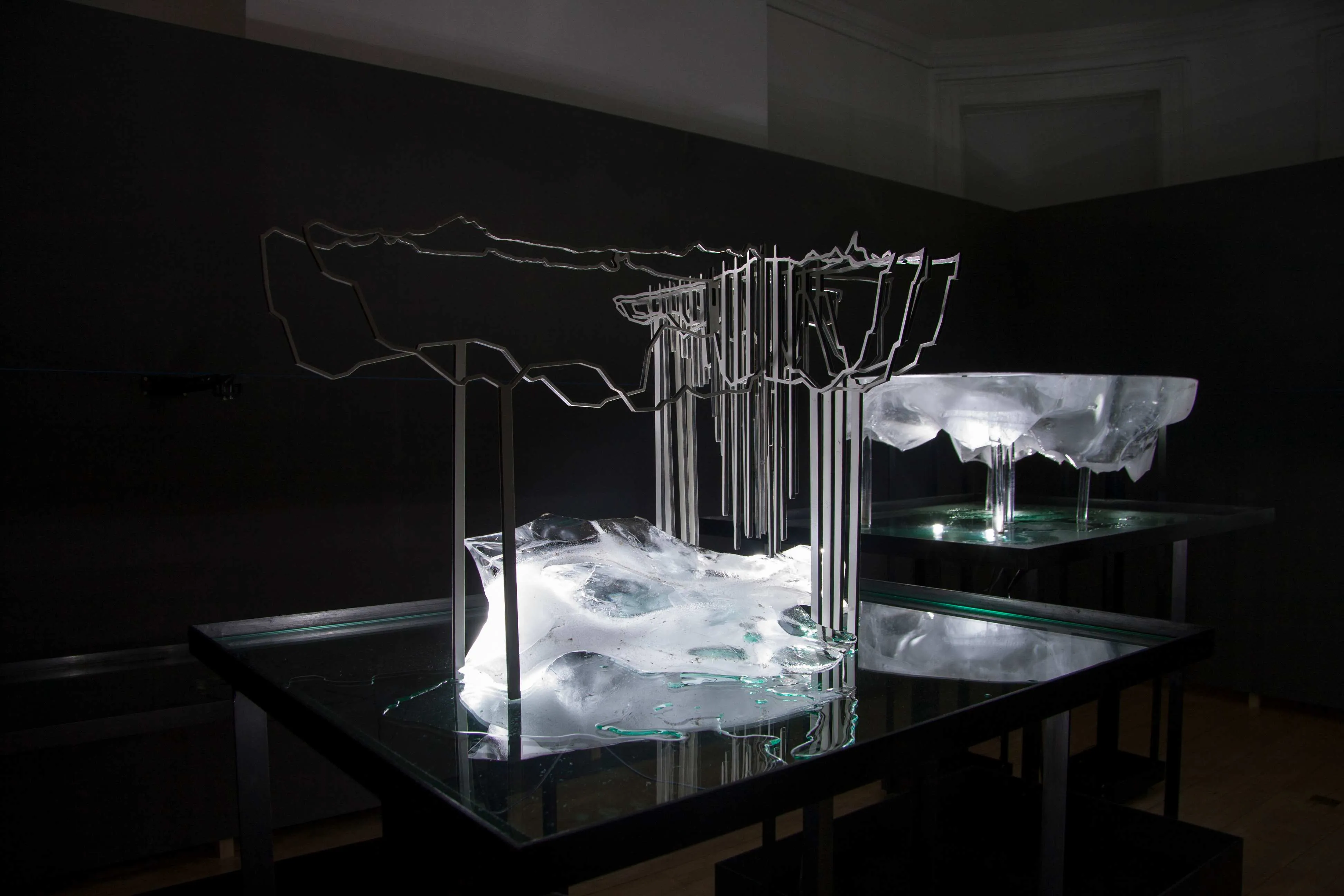
A view of the melting ice in the gallery space
The constantly melting exhibits were replaced every two to three days
The remains of an ice floe after three days of melting
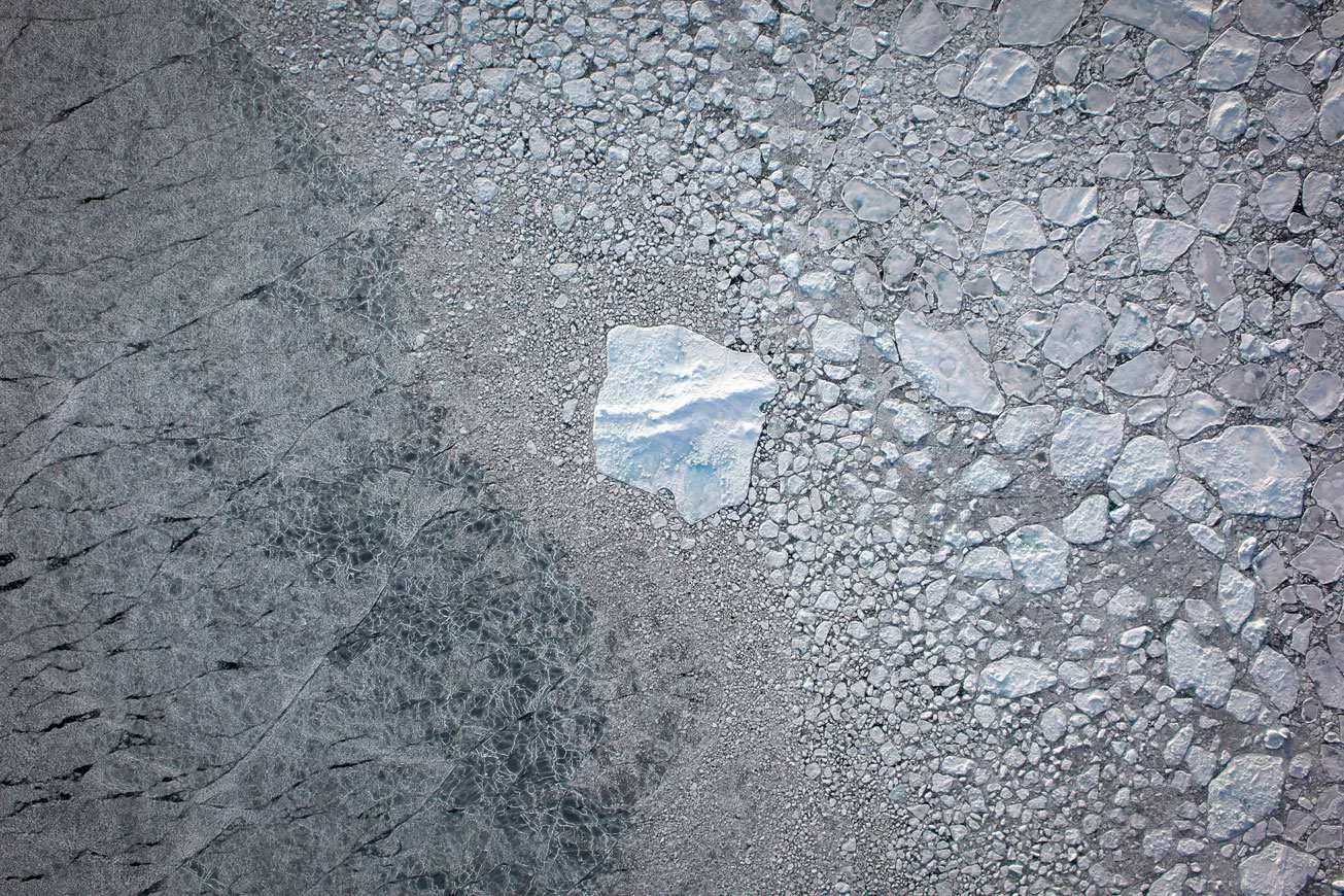
3D Scan of Arctic Ice Floe: Floe A1006 in September 2011, Fram Strait, North West of Svalbard
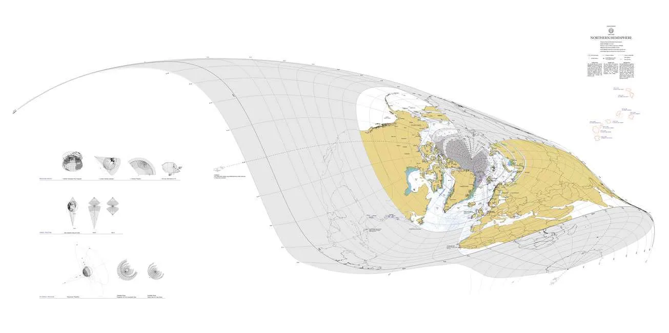
Perspectival Polar biased conical projection map of the Fram Strait and scanned floes